Verdon Map
Published on 13/01/2025 by CAMPASUN
The Verdon map: Your guide to explore the Gorges du Verdon
The Gorges du Verdon, located between the Var and the Alpes-de-Haute-Provence, are a natural site not to be missed in France, attracting visitors from all over the world. To fully enjoy this spectacular landscape, a map of the Verdon is essential. Whether you are a hiking enthusiast, a watersports fan or simply looking for discoveries, a detailed map will allow you to easily navigate through the beautiful Verdon gorges from your campsite and its surroundings.
Why use a map of the Verdon?
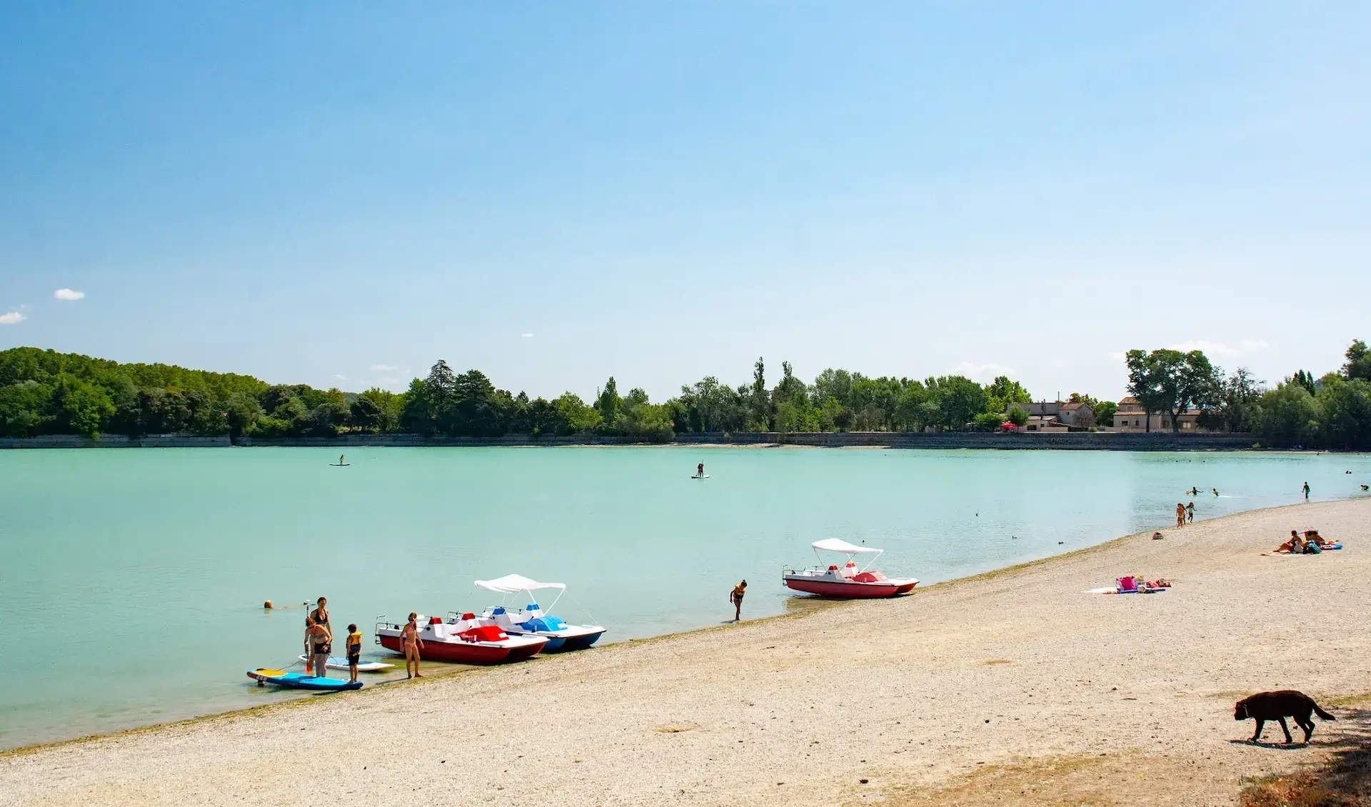
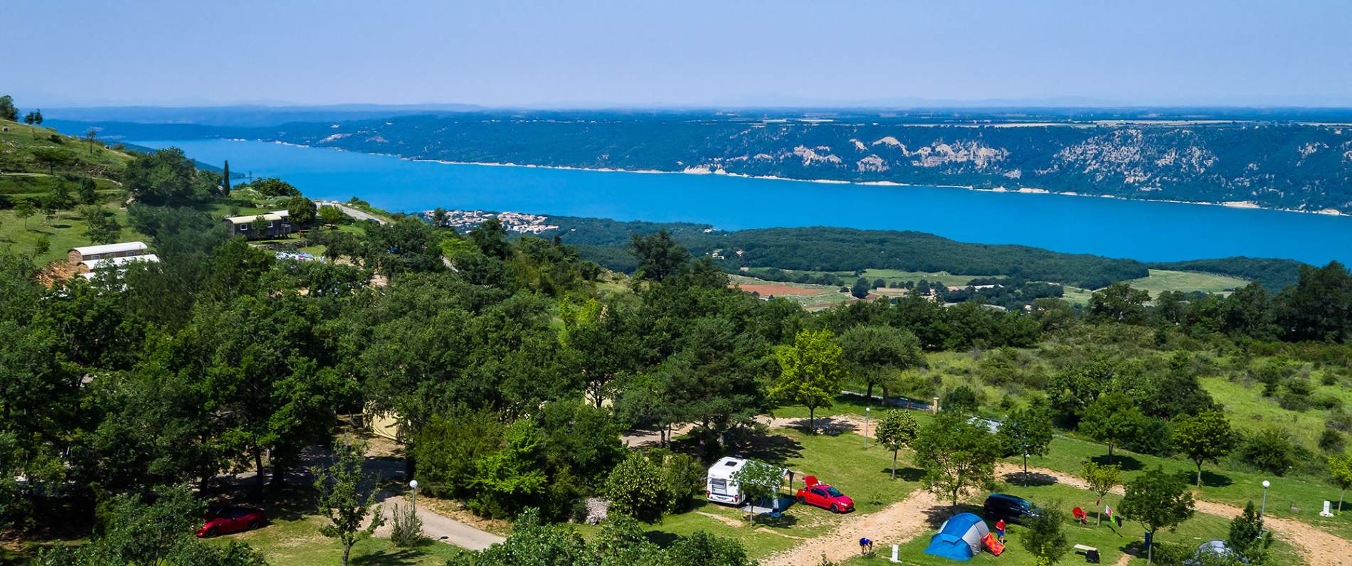
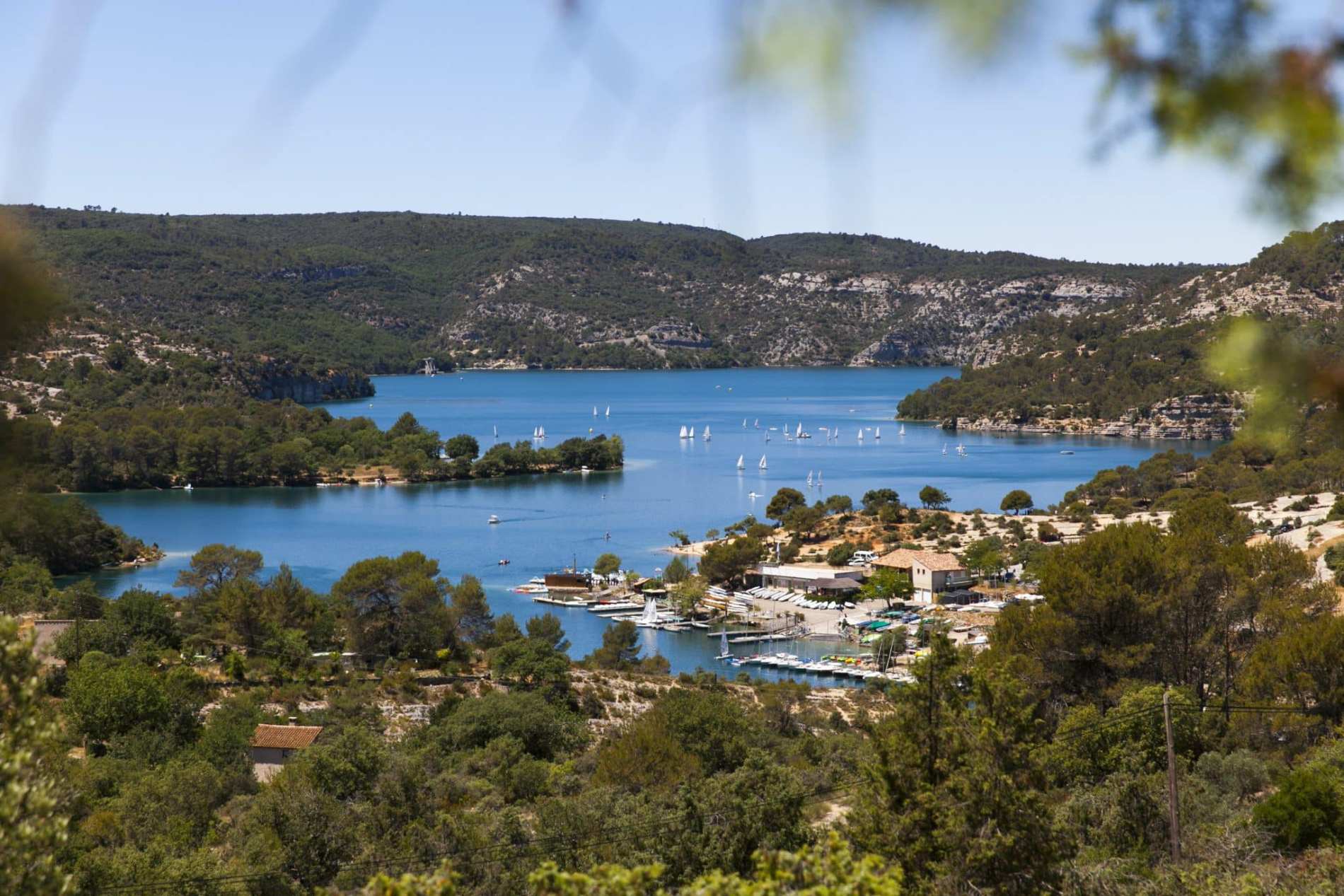
The Verdon map is much more than a simple navigation tool. It helps you to explore safely the Gorges du Verdon, one of the largest canyons in Europe, by guiding you through this varied terrain. It will allow you to identify the main hiking trails, the viewpoints not to be missed, the scenic routes, as well as the sites of activities such as the lake of Sainte-Croix, the Pont de l’Artuby or picturesque villages like Moustiers-Sainte-Marie.
Where can I find the map of Verdon?
- Paper maps The paper map is a must for lovers of hiking and adventure in nature. You can get a map of the Verdon in local tourist offices or specialized hiking shops. These maps show marked trails, places of interest and protected areas that are essential for exploration without misunderstanding.
- Digital maps For those who prefer an interactive and more convenient version, several online platforms offer digital maps of the Verdon. They offer additional features such as the ability to plot a route, view detailed topographic maps and access real-time information on trail conditions. Sites like IGN or applications like Outdooractive allow you to take your map of the Verdon directly on your smartphone.
- Mobile apps Increasingly popular, mobile apps are a great way to navigate the Gorges du Verdon. With apps like Visorando, Komoot or AllTrails you can find hiking routes, distance information and even alerts in case of bad weather. These applications are particularly useful for those who like to explore autonomously and flexibly.
The main elements to find on the map of Verdon
- Hiking trails: The map of the Verdon is essential to locate the many trails that cross the gorges, from the Blanc-Martel trail to the paths of the Imbut. These routes will allow you to discover spectacular views of the canyon and its imposing cliffs.
- The scenic routes: Be sure to discover the route of the ridges, which offers one of the most beautiful views over the gorges. This route is also an excellent way to discover the beauty of the surroundings, with a breathtaking view over the cliffs and the lake of Sainte-Croix.
- Outdoor activities: Whether you are a kayak, paragliding or climbing enthusiast, the Verdon map shows you the best spots to practice these activities. The rivers and cliffs that border the gorges are ideal for white water sports and climbing.
The importance of a card for a safe visit
Exploring the Gorges du Verdon without a map can quickly become complicated, especially in isolated or mountainous areas. The map helps you avoid getting lost and ensures that you can return to your starting point without any problems. In addition, a detailed map will allow you to quickly identify the dark areas or more difficult access, allowing you to choose the routes that correspond to your level of practice.
Whether you are a seasoned hiker, a nature enthusiast or a curious tourist, the Verdon map is an essential tool to discover the Gorges du Verdon in all their splendor. It will allow you to fully enjoy this exceptional site while ensuring your safety and facilitating your travel in this beautiful region.
Don’t forget to get your card before you leave, and prepare yourself for an unforgettable adventure in the heart of one of the most beautiful natural landscapes in France!


